
whatsapp Icon Image
Phone Icon Image

360° Photography Services »

Mumbai & Navi Mumbai

What Is 360° Photography? »

360-degree photography captures a complete environment in a single spherical image, allowing viewers to explore the space interactively by panning, zooming, and navigating within the scene.


When 360° Photography Is Required »

360° photography is commissioned when viewers need spatial awareness, context, and freedom to explore an environment at their own pace.

  • Virtual tours for factories, offices, campuses, hotels, hospitals, museums, and showrooms.
  • Real estate and interior documentation where layout and space perception influence decisions.
  • Training and compliance walkthroughs that require environmental familiarity.
  • Facility overviews for stakeholders who cannot visit in person.
  • Marketing and experiential content where immersion increases engagement and trust.

Why 360° Photography Is Used »

Unlike standard photographs, 360° images remove framing bias and allow viewers to explore the entire environment, resulting in higher clarity, transparency, and engagement.

  • To show complete environments without selective cropping.
  • To improve spatial understanding of rooms, zones, and layouts.
  • To increase viewer engagement through interactive exploration.
  • To support remote evaluation by clients, auditors, and decision-makers.
  • To enhance credibility by presenting spaces exactly as they exist.

How 360° Photography Works from Capture to Viewer Experience »

Location Selection → Camera Placement → Image Capture → Stitching & Retouching → Hosting & Integration → Interactive Viewer Exploration
    
The typical workflow of 360-degree photography, from on-site capture to interactive viewing on digital platforms.

360° Photography Across the Workflow »

360° photography follows a structured workflow where each stage influences image clarity, navigation quality, and user experience.

  1. Location Planning and Camera Positioning: Each capture point is selected to maximise visibility, minimise obstructions, and represent the space accurately.
  2. Image Capture: Multiple lenses capture the entire environment simultaneously, ensuring consistent lighting and perspective.
  3. Stitching and Image Processing: Individual images are stitched into a seamless sphere and refined to remove tripod visibility and visual inconsistencies.
  4. Colour Correction and Retouching: Images are optimised for clarity, exposure balance, and realistic colour representation.
  5. Hosting and Platform Integration: Final outputs are prepared for websites, virtual tour software, Google platforms, or internal systems.
  6. Viewer Interaction and Engagement: Users explore the environment interactively, improving understanding and time spent engaging with the content.

Together, the workflow overview and stages above explain how 360° photography transforms physical spaces into interactive digital experiences that support communication, evaluation, and engagement.


360° Photography Services »

360° photography captures an entire space in a single interactive image, allowing viewers to look around freely rather than viewing a fixed frame. This format is best suited for virtual walkthroughs, facility documentation, real estate, showrooms, and training where layout, proportions, and spatial context are important.

We deliver stitched equirectangular masters, web-ready outputs, and—where required—interactive 360° photography↗ with click-through navigation. Based in Mumbai / Navi Mumbai, we undertake projects across India.


Recent Project: 360° Site Survey for Real Estate »

Project summary: A high-resolution aerial 360° site survey was carried out for a real estate developer in Lonavala to document a bungalow plot, giving prospective buyers a complete spatial view of the location through a stitched, web-ready panorama captured using a DJI Mavic 4 Pro, while managing variable weather and wind conditions on site.

  • Client Type: Real estate developer
  • Location: Lonavala, Maharashtra
  • Objective: 360° site survey of a bungalow plot to provide prospective buyers with a complete spatial view, including key location labels.
  • Capture Format: High-resolution aerial 360° photograph captured using DJI Mavic 4 Pro with a 360 camera payload.
  • Deliverables: Fully stitched and colour-corrected 360° photograph, suitable for web viewing and virtual tour integration.
  • Operational Constraints Managed: High wind conditions, intermittent low visibility, and changing weather during capture.

Aerial 360° Photography Using DJI Mavic 4 Pro »


Introductory Overview »


For projects requiring navigation across multiple spaces, we offer interactive 360° photography↗, where individual panoramas are linked to create structured walkthroughs. This format is commonly used for real estate, campuses, showrooms, and facilities documentation.


Studio Demonstration Spaces »

Nerul (Navi Mumbai)


Kharghar (Navi Mumbai)


Where 360° Photography Is Used »

  • Industrial units & facilities: walkthrough documentation, layout context, training support, and remote review.
  • Real estate & interiors: virtual walkthroughs for residential, commercial, and mixed-use spaces.
  • Showrooms & retail: spatial browsing for collections, displays, and visitor orientation.
  • Institutions: campus tours and orientation material for students, parents, and stakeholders.

When navigation between multiple locations is required, interactive 360° photography↗ is more suitable than a single standalone panorama.
Selected 360° Photography Examples »

Industrial Unit


Retail & Showroom Space


Public & Outdoor Spaces


Indoor Facilities


Behind the Scenes (BTS) »

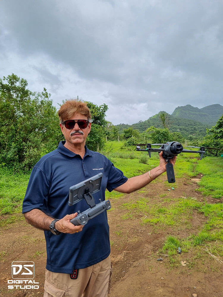
Launching DJI Mavic 4 Pro with Insta360 camera for aerial 360 photography
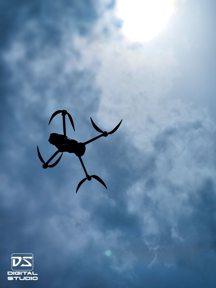
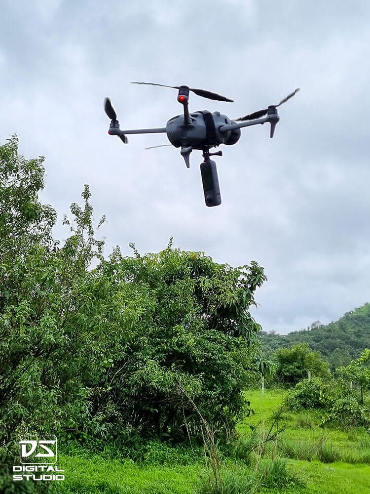
DJI Mavic 4 Pro in flight during aerial 360 photography capture

DJI Mavic 4 Pro configured with Insta360 camera for aerial 360 capture
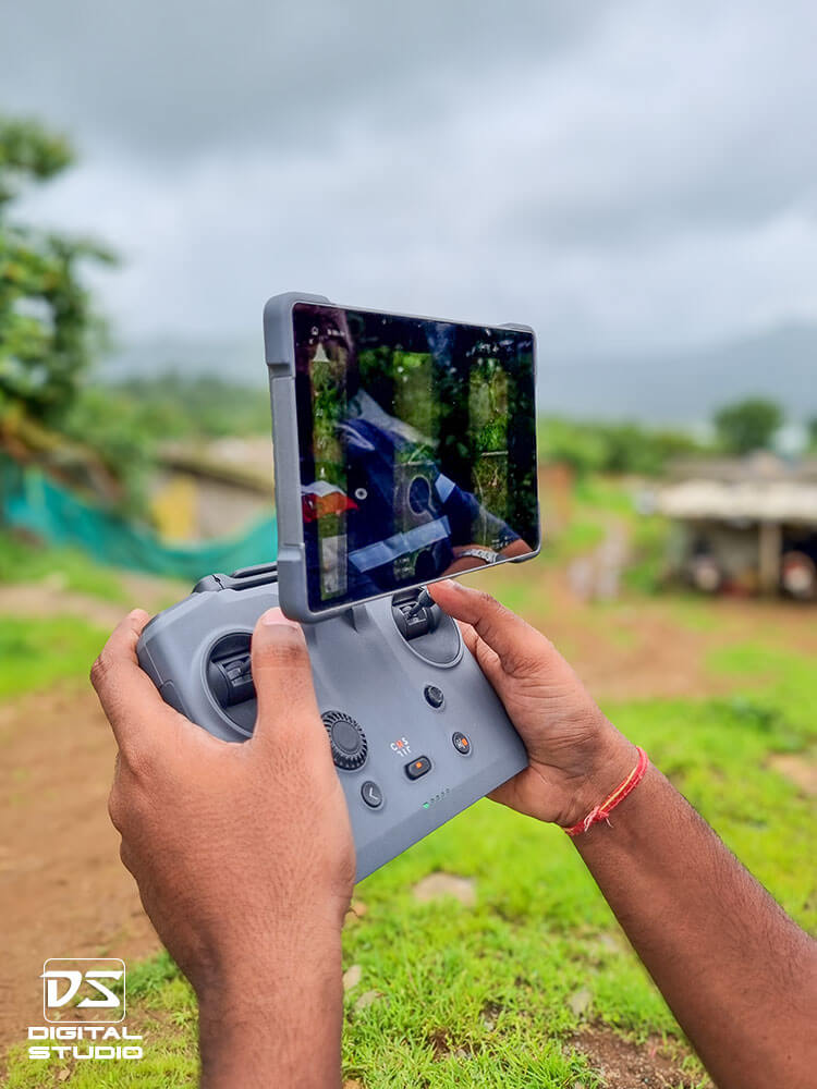
Remote controller used for DJI Mavic 4 Pro during 360 photography shoot

Additional 360° Photography Examples (Non-Industrial) »

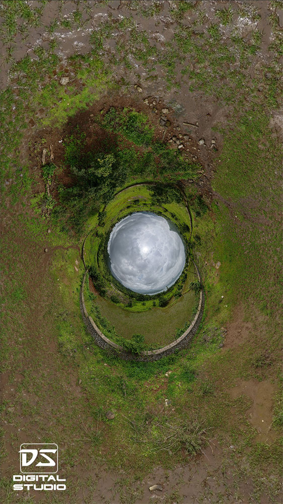
Rabbit hole style 360-degree aerial photograph of land survey
Rabbit hole style aerial 360 photograph

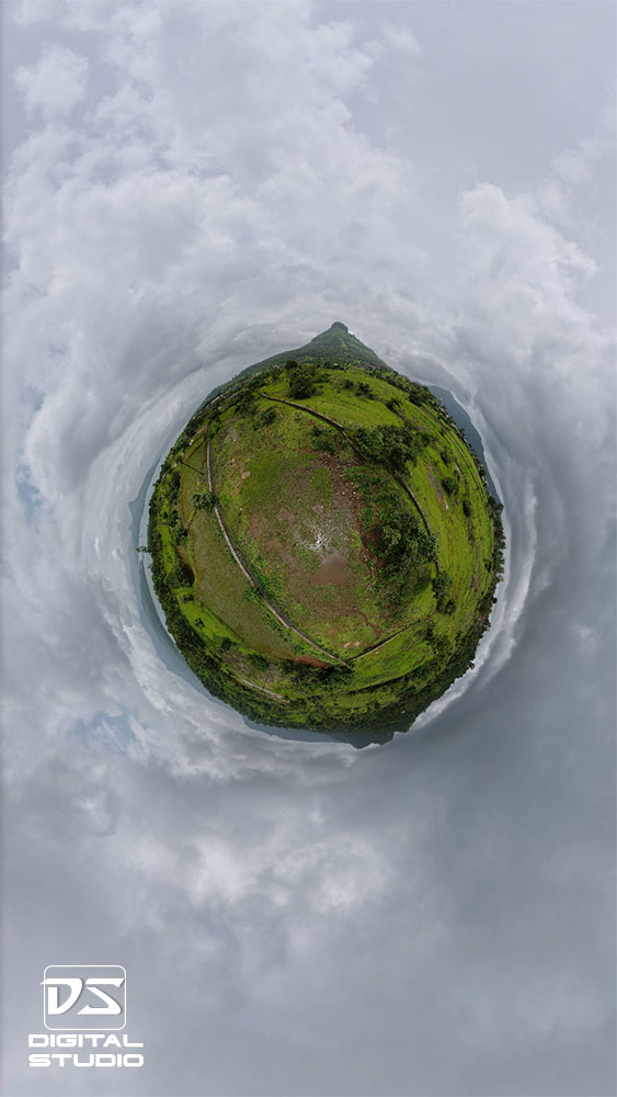
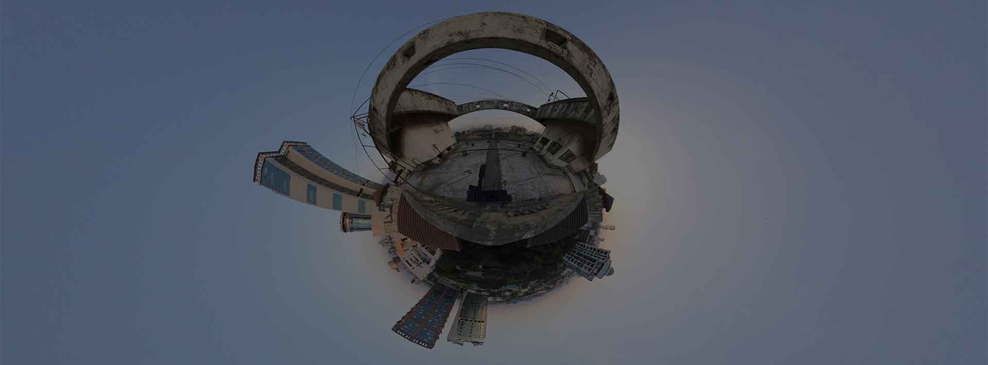
Tiny planet style 360-degree aerial photograph
Tiny planet style aerial 360 photograph

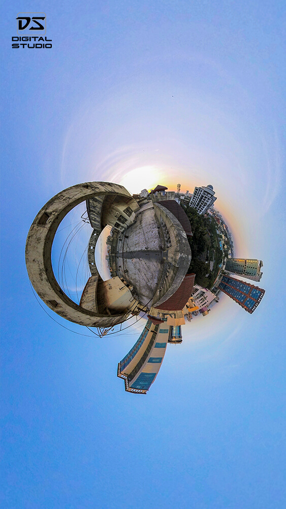
360-degree photograph of a residential building terrace
Residential building terrace captured in 360°

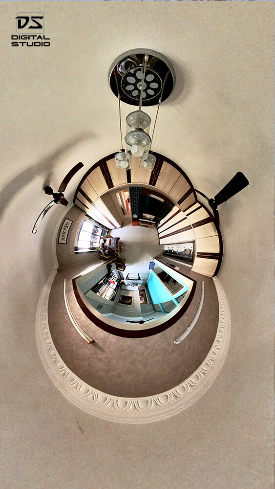
360-degree photograph of an interior living room
Interior living room space documented in 360°

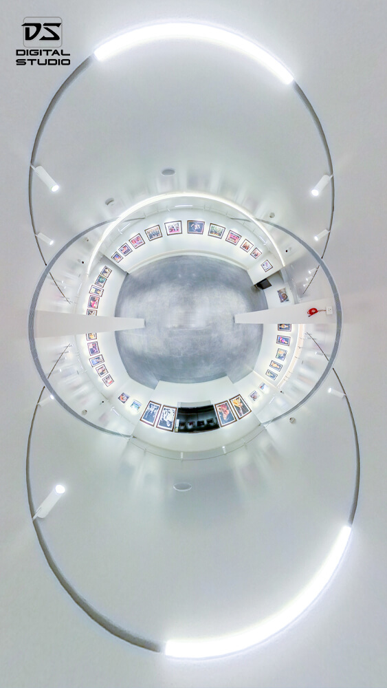
360-degree photograph of an interior art gallery
Interior art gallery space documented in 360°

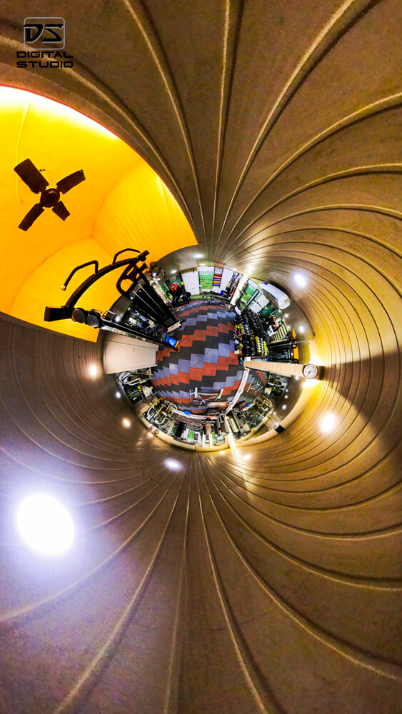
360-degree photograph of an indoor gym facility
Indoor gym facility captured in 360°

Frequently Asked Questions (FAQ) »

What is 360° photography?

360° photography captures a full view in all directions, letting viewers pan around a space on websites, mobiles, or VR headsets for an immersive experience.

Where can I use 360° images and tours?

You can embed them on your website, share via links, use at exhibitions and sales demos, and publish on compatible platforms that support 360° viewing.

What deliverables do you provide?

Stitched equirectangular images, a web-ready virtual tour with hotspots and branding, poster thumbnails, and optional hosting guidance or files for your server.

How many 360° nodes do I need?

Small offices usually need 5–10 nodes. Larger factories, campuses, or hotels may require 20+ nodes with floor maps to cover all areas smoothly.

Do you retouch to remove the tripod or crew?

Yes. We patch nadirs, remove stands, and clean ghosting where possible so the final panoramas look polished and distraction-free.

How long does a 360° project take?

Most projects finish in 5–10 working days depending on the number of nodes, approvals, and any custom UI like floor maps or info cards.

Do you cover cities outside Mumbai/Navi Mumbai?

Yes. We work pan-India including Thane, Pune, Surat, Delhi-NCR, Bengaluru, Hyderabad, Chennai, Ahmedabad, and other locations.

What on-site preparation is needed?

Spaces should be clean and staged, with permissions arranged. For the best results, control foot traffic and switch on the final lighting during capture.

Knowledge Base »

The following reference documents provide additional context on applications, workflows, and comparisons related to 360° videography and photography.

Conclusion »

360° photography is most effective when spatial context matters—layout, proportions, and the ability to explore a space freely. For facilities, real estate, and walkthrough documentation, a well-executed 360° photograph can communicate more information than a traditional set of still images.

Results depend on planning, camera placement, lighting control, and correct stitching. When used selectively and delivered in the right format, 360° photography becomes a practical tool for documentation, presentation, and remote access.

Last updated:

WhatsApp Now!